The Rio Grande harbors dozens of canyons along its 318-mile path through the Chihuahuan Desert from Presidio to Langtry. Formed by volcanic activity, rifts, and erosion, the canyons in Big Bend Ranch State Park and Big Bend National Park as well as along the Rio Grande Wild and Scenic River offer a stunning landscape for hiking, paddling, and sightseeing.
As West Texans will tell you, the Rio Grande ain’t what it used to be. The river’s floods and flows have tapered significantly over the past century due to drought and upstream water diversion. “When a river can’t move its own sediment, it results in channel narrowing,” says Kevin Urbanczyk, a Sul Ross State University geology professor and director of the Rio Grande Research Center. “The sediment piles up, the channel becomes narrower, and then giant river cane comes in and stabilizes the sediment walls.” Though sections of the river sometimes run dry, the ancient rock bluffs endure.
135 million years
Age of the sedimentary limestone in the walls of Boquillas, Mariscal, and Santa Elena canyons.

Oct. 5, 1899
Date that geologist Robert T. Hill set off on his pioneering Rio Grande expedition, a monthlong trip from Presidio to Langtry.
65,332 cubic feet per second
The river’s highest recorded flow at the Johnson Ranch gauge in Big Bend National Park on Oct. 1, 1978. By comparison, the river flowed at an average of 990 cfs in October 1983 and 41 cfs in October 2023.
4 Million Years Ago
Period when a river began carving through the Big Bend, scouring sediment-filled basins and linking canyons along the river’s course.
1-4 Days
Typical length of some of the national park’s most popular river trips, depending on flow.
1978
Year Congress designated 196 miles of the Rio Grande in Texas as a Wild and Scenic River, meaning it has significant value.
8,189
Number of people on permitted river trips in the national park and Wild and Scenic River from November 2023-October 2024.

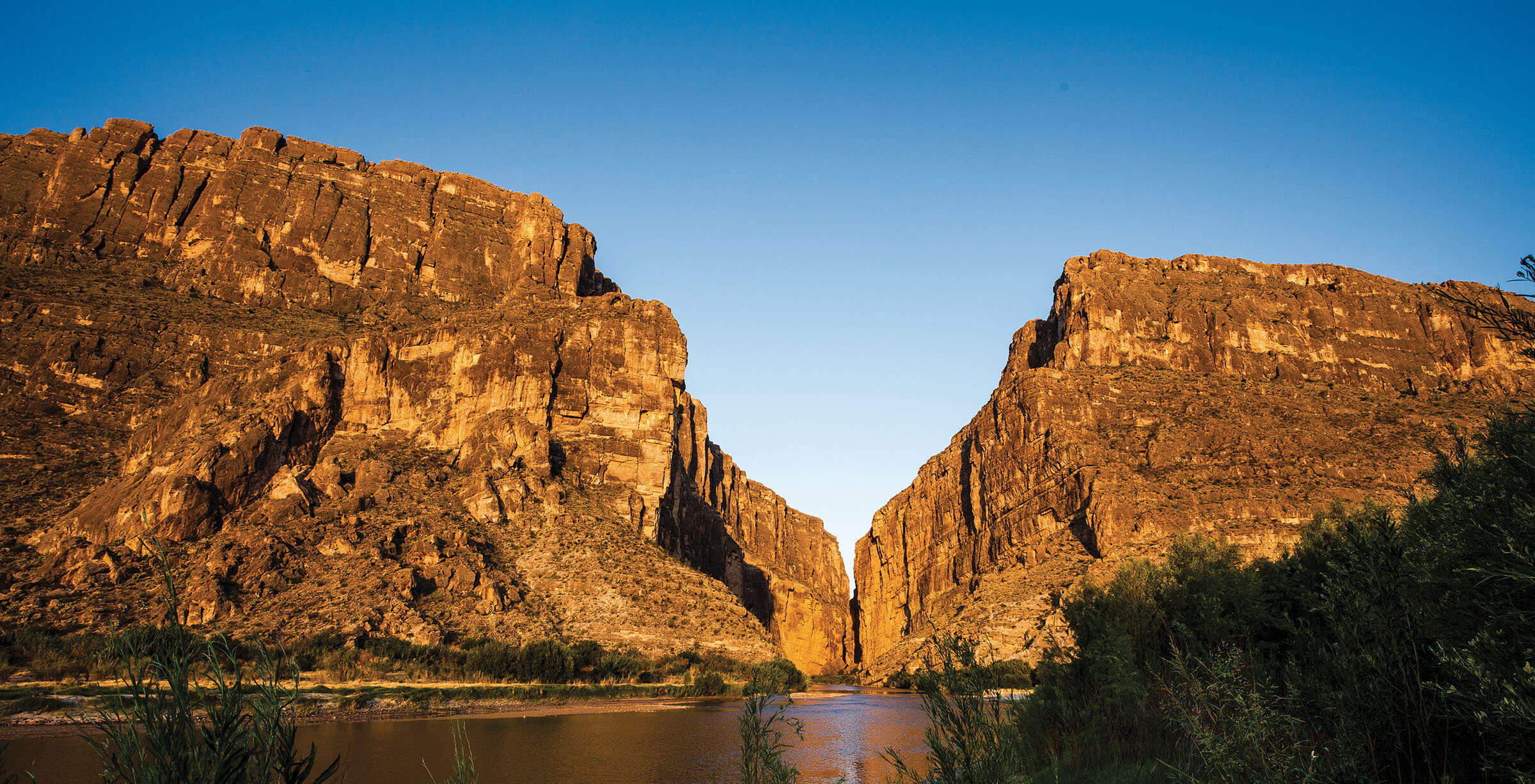
1 hour
Average hiking time for the Santa Elena Canyon Trail, a 1.6-mile round trip hike that provides expansive views of the canyon in Big Bend National Park.
1,500 feet
Height of the walls in parts of Santa Elena Canyon, making it the deepest gorge in the Big Bend area.
