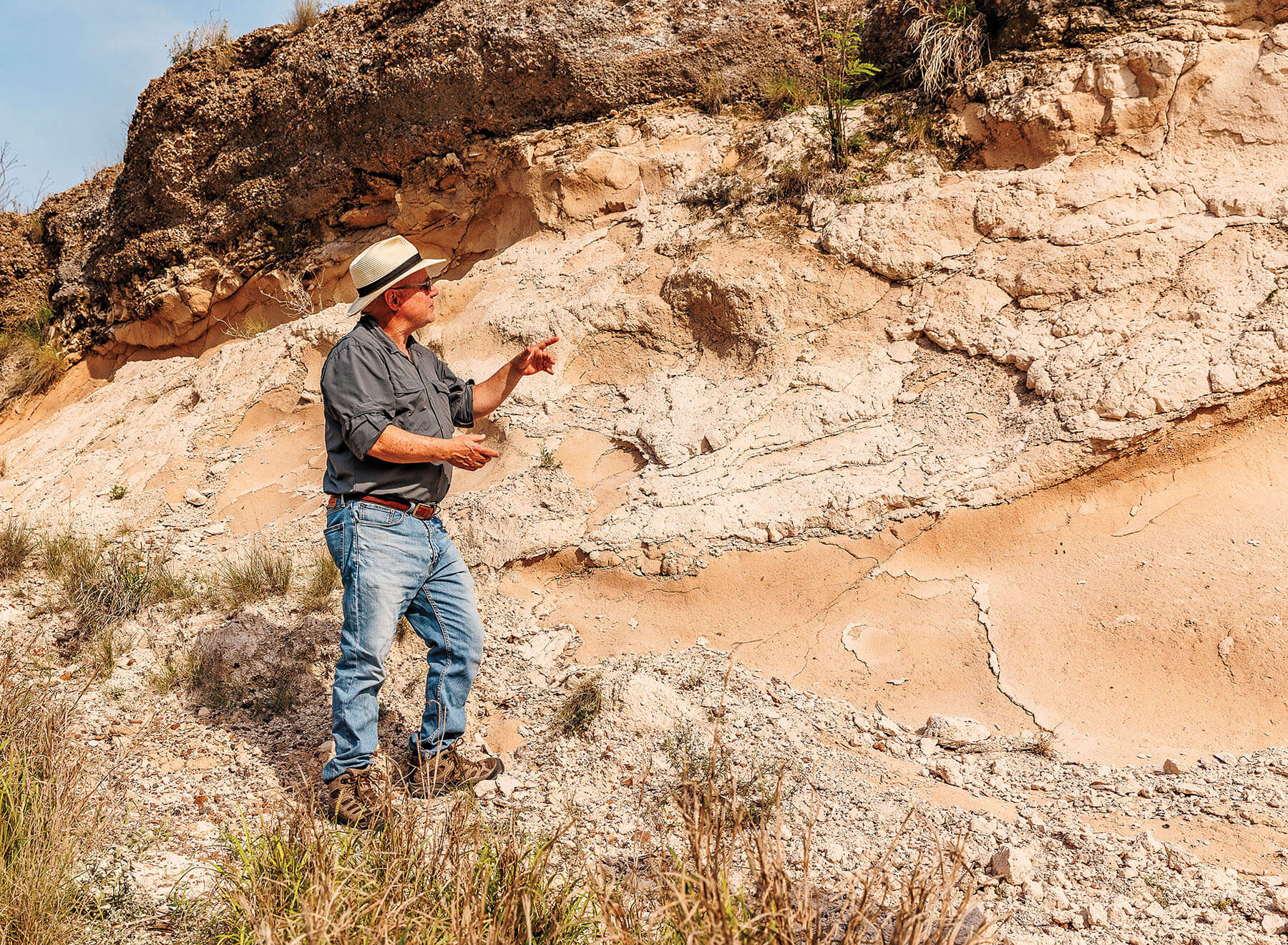
Juan L. Gonzalez, a professor of earth sciences at the University of Texas-Rio Grande Valley, hops out of the car and motions for me to follow. I’ve parked next to an auto repair shop just off US 83, which we’ve followed west from McAllen. Outside Rio Grande City, the road cuts through a hill of what looks like white dirt. Gonzalez leads me toward the edge of that outcrop, a chalky bluff that reaches 16 feet above our heads, where it’s topped with a thick layer of gravel. I run my hand over the slope’s surface, and the eroding dust covers my fingertips in white powder.
This cream-colored clay is an astonishing 27.4 million years old, Gonzalez explains. It’s the top 5 meters of a 20-meter layer of ash spewed by a distant volcano in the Oligocene epoch—after the dinosaurs lived, but long before humans. The remaining 15 meters are below our feet, part of a gentle hill that rises from the South Texas plains. This ash stretches across Starr County and has played a key role in the region’s geological and cultural history, but its presence is threatened by encroaching development.
Ash created the petrified wood that early peoples carved into tools and 20th-century architects used to decorate local homes. It was the source of uranium mined in South Texas from the 1950s to the 1990s, and it was mixed into the cement used to build Falcon Dam 30 miles northwest on the Rio Grande. This unlikely location is one of a handful of spots where visitors can touch it themselves.
They may not be able to do so much longer, though. Beneath our feet, the ground has been scraped by a bulldozer’s blade. Since his last visit, Gonzalez says, part of the hill has been demolished to enlarge the mechanic shop’s parking area. Geological resources are not legally protected the way endangered animals and plants are, but the demolition means that a valuable site has been changed forever. “Millions of years of geologic history are gone in an instant,” he says.
Gonzalez and his colleagues at UT-RGV envision a different future for these sites through the project Ancient Landscapes of South Texas: Hiding in Plain Sight. In the past five years, they have brought attention to overlooked and often threatened natural resources including the ash outcrops, petrified wood, fossilized giant oyster shells, distinctive gravels, and deposits of the sedimentary rock chert that prehistoric peoples made into projectile points. These are part of the region’s geoheritage, or geological features with significant cultural, scientific, or aesthetic value. Although such sites are often millions of years old, they can disappear in a day if people aren’t aware of their importance.
“Most of them are right by a major highway, and people drive by them daily, not even knowing they are there,” Gonzalez says. “That’s what we want to change.”
After Gonzalez joined UT-RGV in 2009, a colleague took him to a residential neighborhood down the road from the auto shop. There, Gonzalez stared up at a 17-meter hill of the same volcanic ash. To his surprise, virtually no research about the local ash had been published, so he began studying it. Lab testing revealed that the ash was 27.4 million years old and probably came from a single eruption of a volcano in the Sierra Madre Occidental range in modern-day Mexico.
At that time, the area was near the shoreline of the Gulf of Mexico and likely covered with a maritime forest similar to the one preserved at the Sabal Palm Sanctuary in Brownsville. When the ash fell, in a matter of days or months—“an instant, in geologic time,” Gonzalez says—it covered the plants and stymied the normal decay process. Over millions of years, groundwater circulating through the ash replaced the plants’ cellulose with minerals in a process called silicification. What’s left is quartz in the shape of the original plant—such as petrified palm, the state stone.
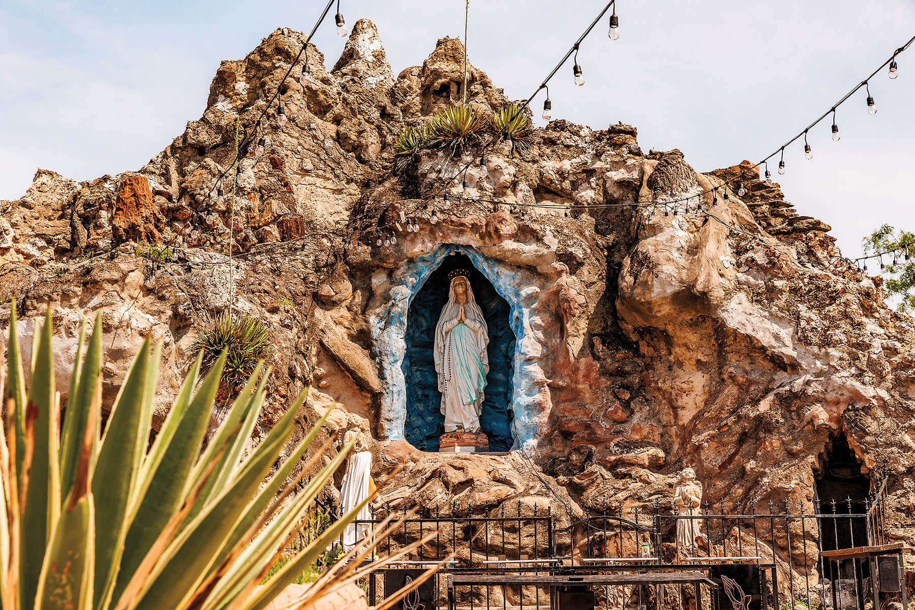
Gonzalez tells me this as we drive to Rio Grande City, where we marvel at petrified wood at a hotel and shrine, and Roma, where it’s used in a church’s retaining wall. The most impressive pieces in Roma, one of them 10 feet tall and so thick Gonzalez can barely wrap his arms around it, surround a long-abandoned home.
Gonzalez has taken many geologists and students on adventures like ours. About a decade ago, he invited Russell Skowronek, an anthropology and history professor at UT-RGV, to come along, and the two realized they had complementary expertise. They spearheaded the project that became Ancient Landscapes and envisioned ways to educate the public about the sites and, in doing so, conserve them.
“The idea of preservation has always been front and center for us,” Skowronek says. “If you don’t know what you have, you don’t know that you’ve lost it.”
A geoheritage initiative led by the Bureau of Economic Geology at the University of Texas at Austin has a similar philosophy. The Texas GeoSign Project, launched in 2016, explains the significance of geological sites near publicly accessible spaces. For instance, an interpretive panel at a Bell County roadside rest area explains the hydrogeology and economic history of Salado Springs, and one in Eastland County describes the Ranger Oil Field.
Geologists see the value of these places, “but the public may have no understanding,” says project manager Linda Ruiz McCall, who coordinates the Bureau’s outreach programs. The GeoSigns are meant to change that. “Not only are these sites important scientifically, but they also embody educational, cultural, aesthetic, and economic factors,” she says.
Gonzalez and Skowronek hope to partner with chambers of commerce to parlay their research into tourism, as South Texas is known for its natural attractions. By learning how events in the geological past shape the present, visitors can become stewards of the history beneath their feet.