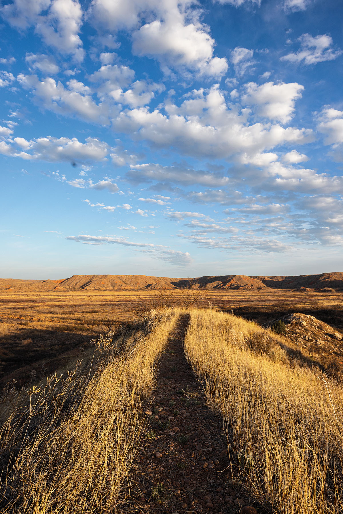
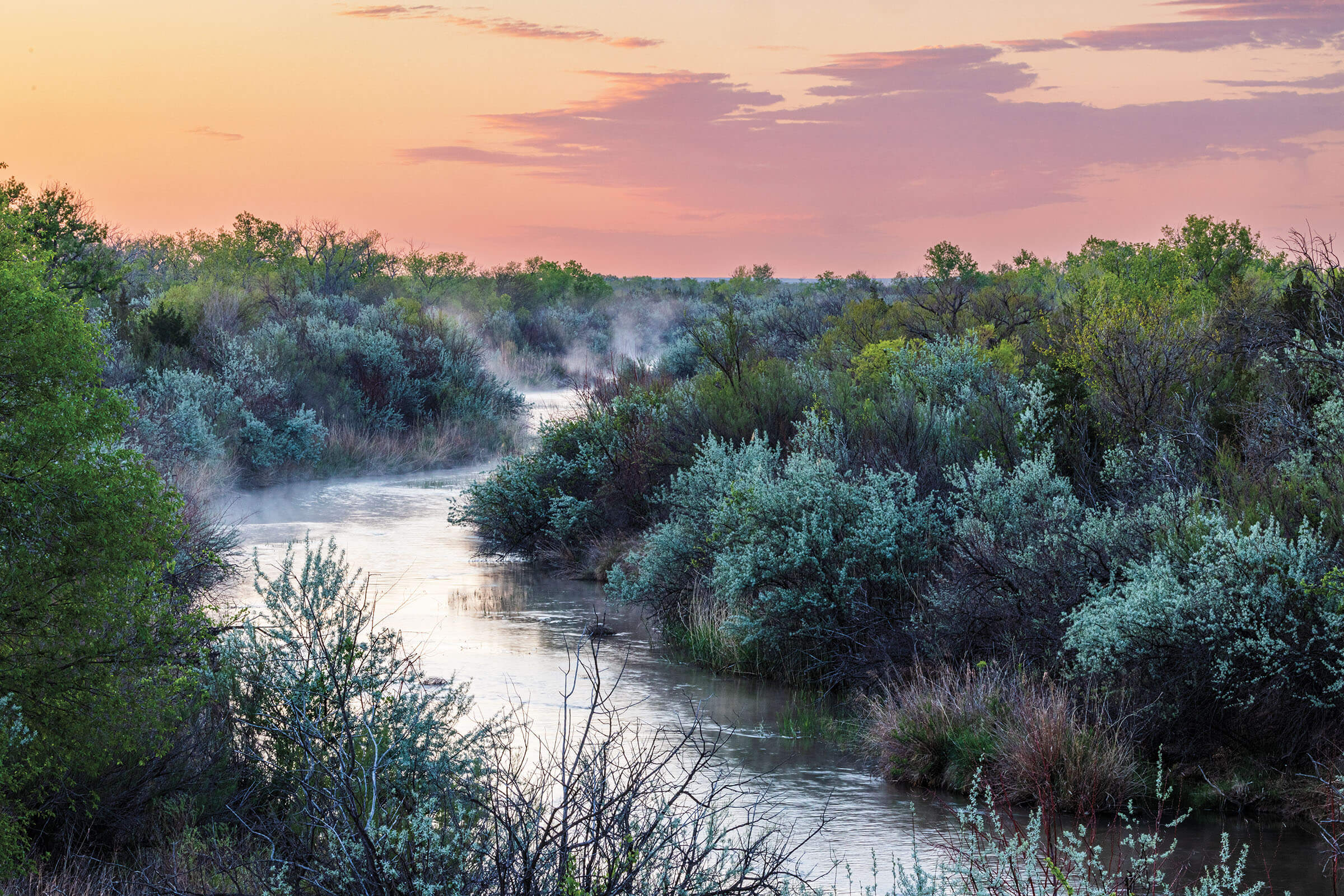
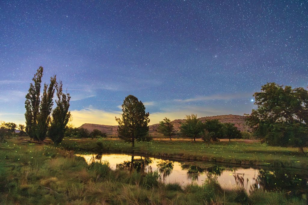
Charcoal kilns at New Mexico’s Vermejo Park Ranch near the headwaters of the Canadian River.
Force of Nature
Untamed and unfettered, the Canadian River cuts its way through the Panhandle
Photographs by Sean Fitzgerald
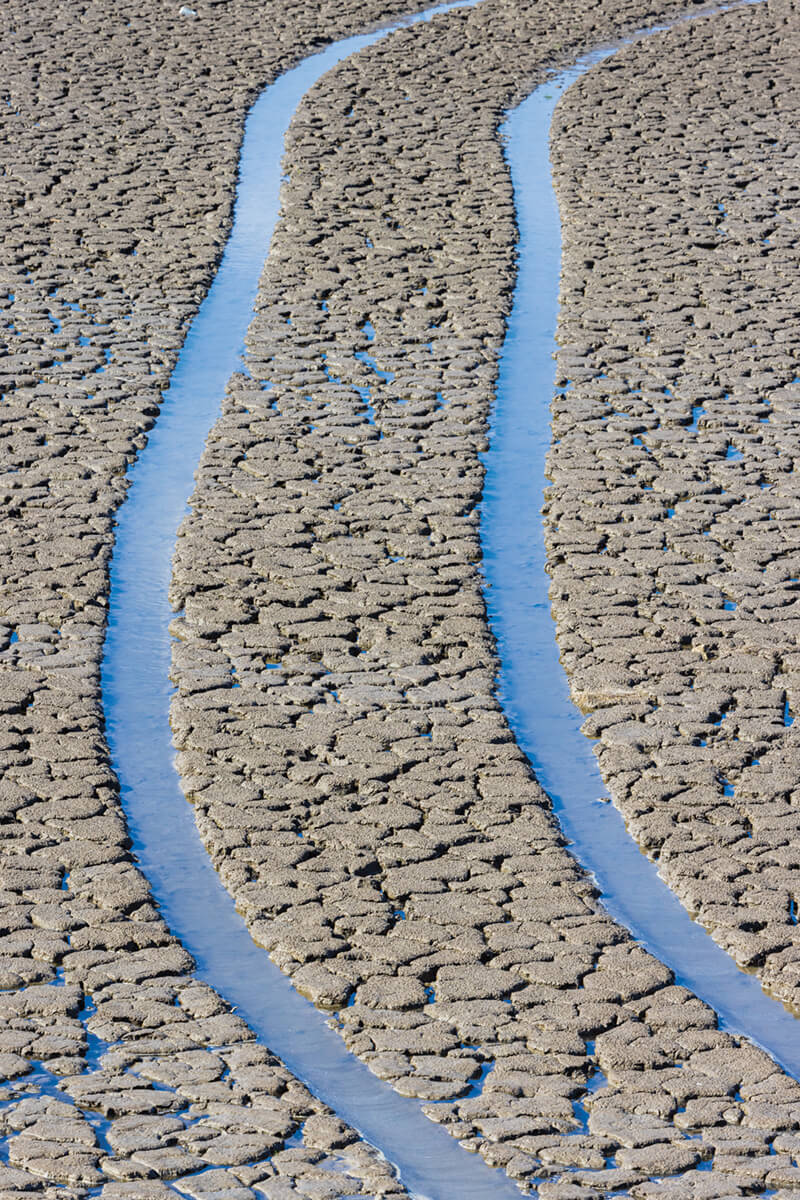
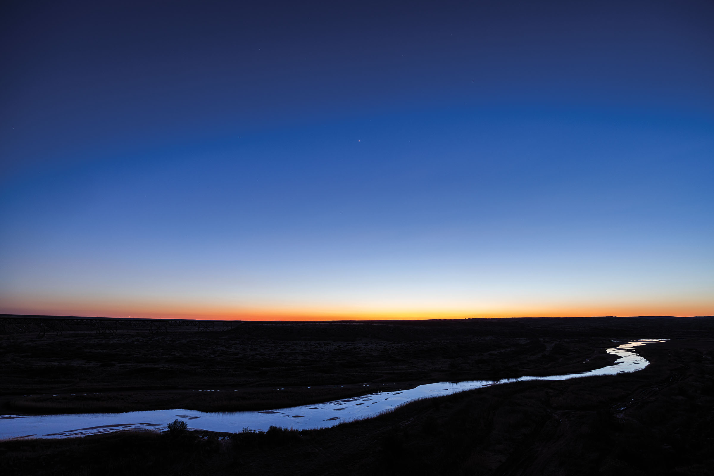
Don’t misjudge the Canadian River—it’ll make a fool of you, or worse. This 900-mile river has relished in deceiving and surprising mankind ever since it was ginned up by a melting iceberg eons ago and set on a serpentine course through New Mexico, the Texas Panhandle, and Oklahoma. The Canadian has been known to sneak down into a 200-foot gorge, unheard and unseen, just to emerge as a sand-swallowing flash flood when a derecho finds paydirt.
Even so, the Canadian River Valley has long served as a refuge from the cyclical regimes of wind, drought, and fire that dictate the Panhandle’s climate. Between 1150 and 1450, the Antelope Creek people lived in the area, where they found food, shelter, and commerce. As the years went by, people continued to seek out the river consistently, for more or less the same reasons, with varying degrees of success. And critters such as wild turkey, pronghorn, and prairie dogs made the Canadian their home long before humans showed up.
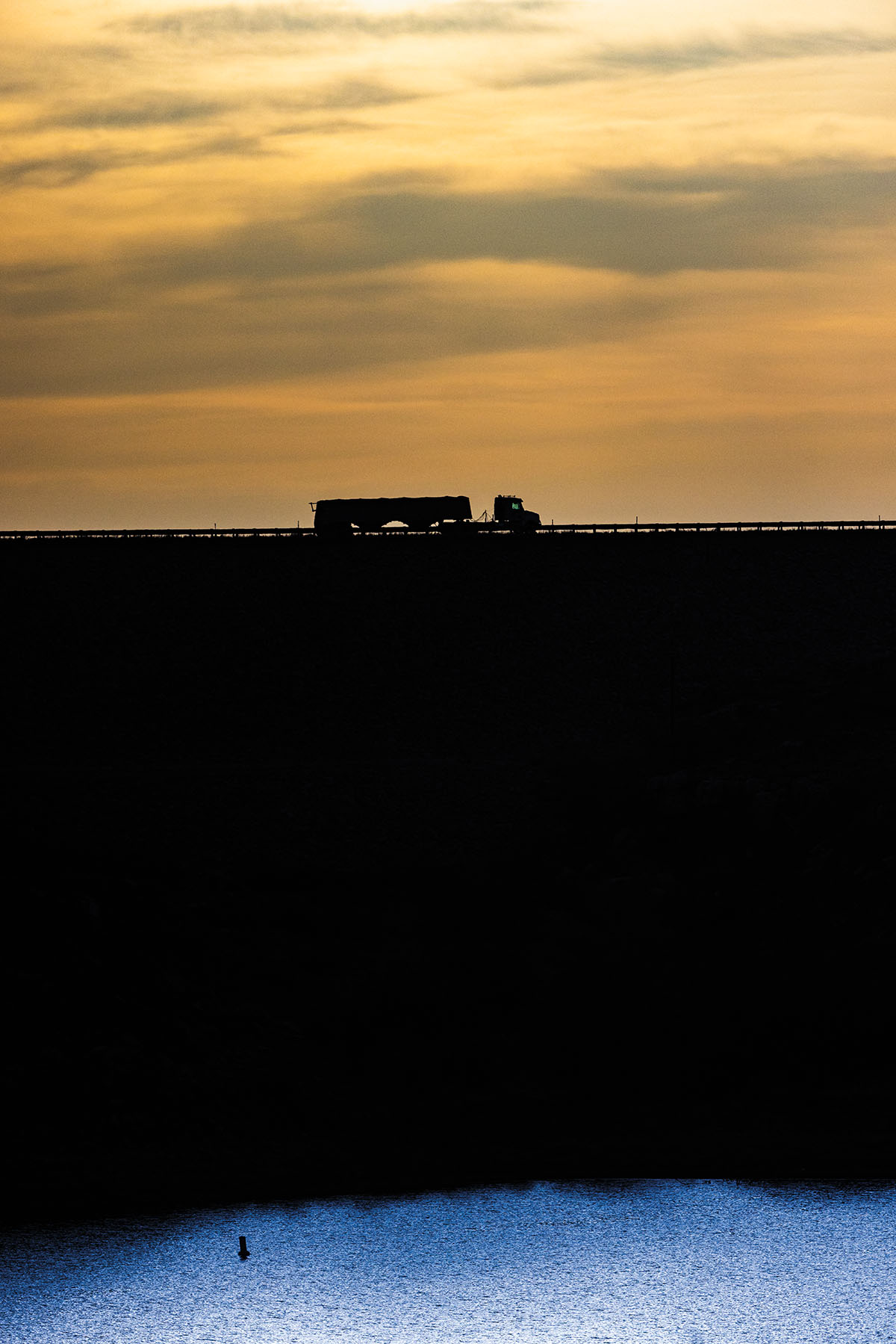
Nowadays, the Canadian isn’t as wild as it once was. It’s been dammed twice in New Mexico and once in Texas, just west of Borger, to create Lake Meredith. As a result, the river’s ability to push past its banks has been greatly reduced. The river valley still offers wild outdoor adventure, however: Visitors can climb and hike, catch monster fish, drive off-road vehicles, and ride horses along its banks. The Canadian River has always been a place of thrilling action, and it retains that distinction today.
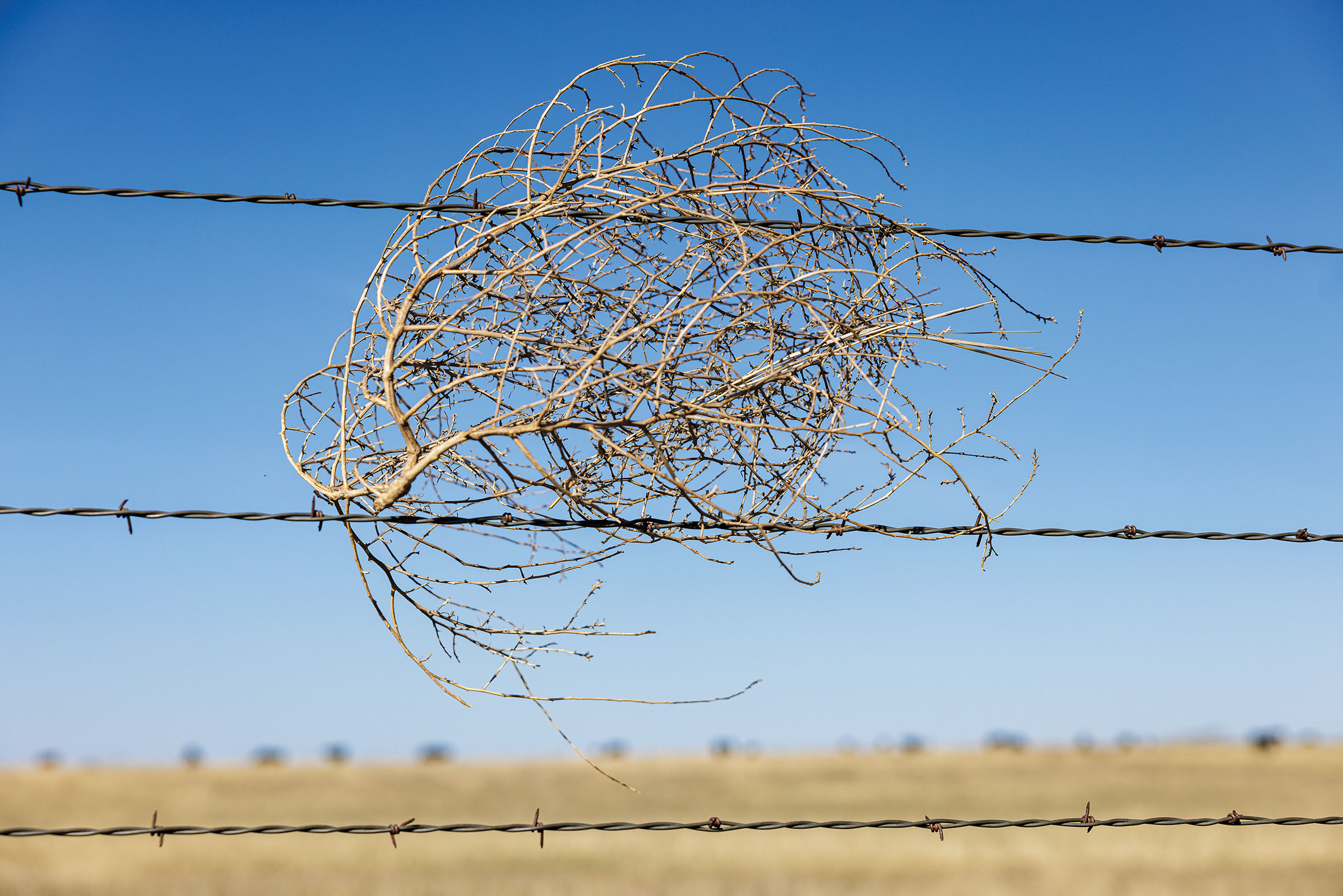
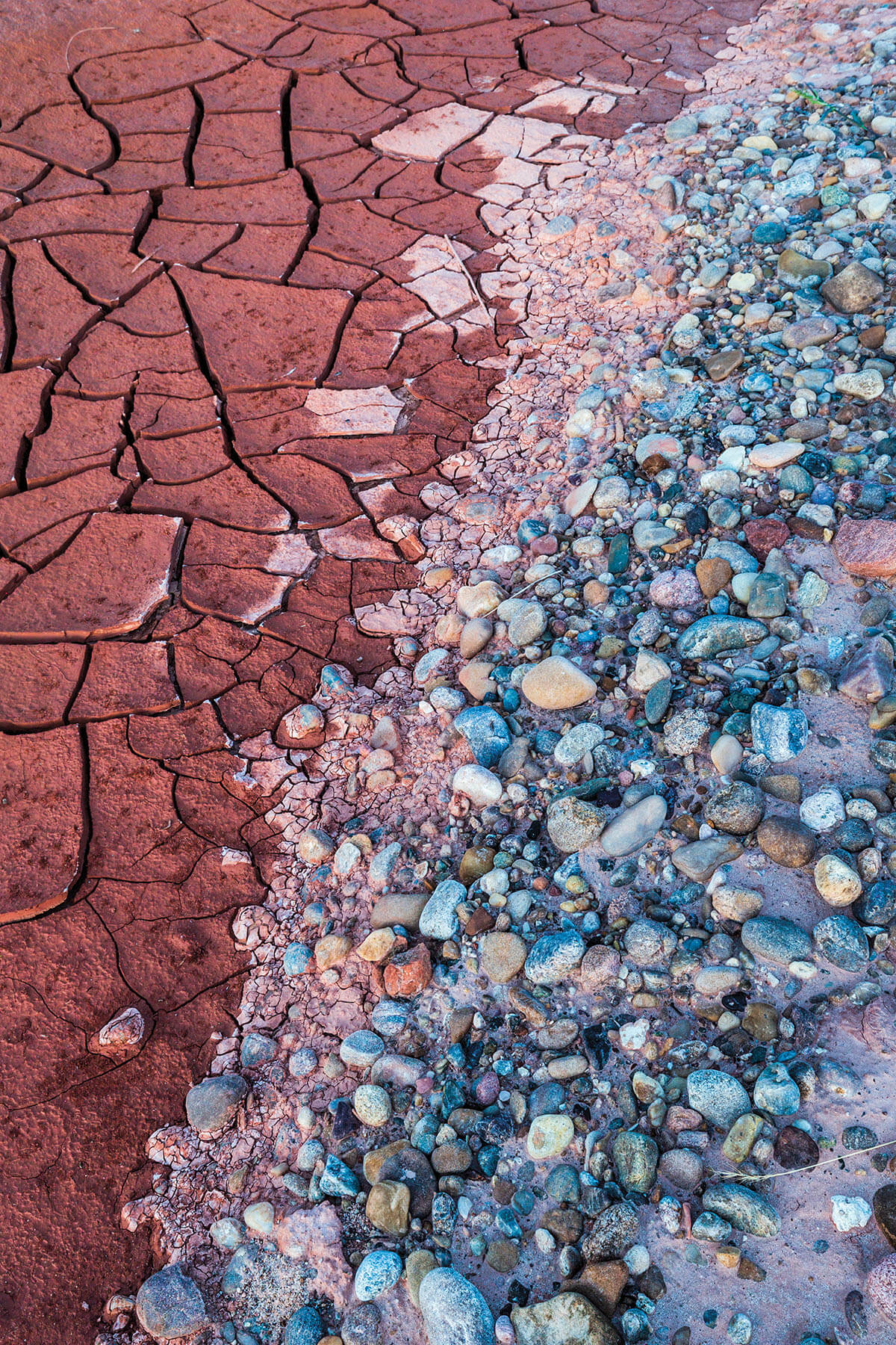
Dallas-based photographer Sean Fitzgerald has spent the last decade or so researching and shooting the Canadian, starting at its headwaters in New Mexico and recording its run through six Texas counties into Oklahoma, where it meets the Arkansas River. As the project progressed, Fitzgerald became fascinated not just with the river, but with the depth of human experience it has fostered. “I enjoy both the beauty of it and the mystery of it,” he says. “It’s the myth and history wrapped around this wonderfully unique river.”
Fitzgerald’s photos capture the marvelous geology of the Canadian, something that’s especially apparent at Lake Meredith. The lake’s green-blue expanse is hemmed in by the Canadian Breaks—jagged sandstone-and-gypsum canyons carved by the river over millions of years. East of that is Adobe Walls, the site of two momentous battles between Native American tribes and Anglo settlers. Notable figures include frontiersman Kit Carson and Comanche war chief Quanah Parker.
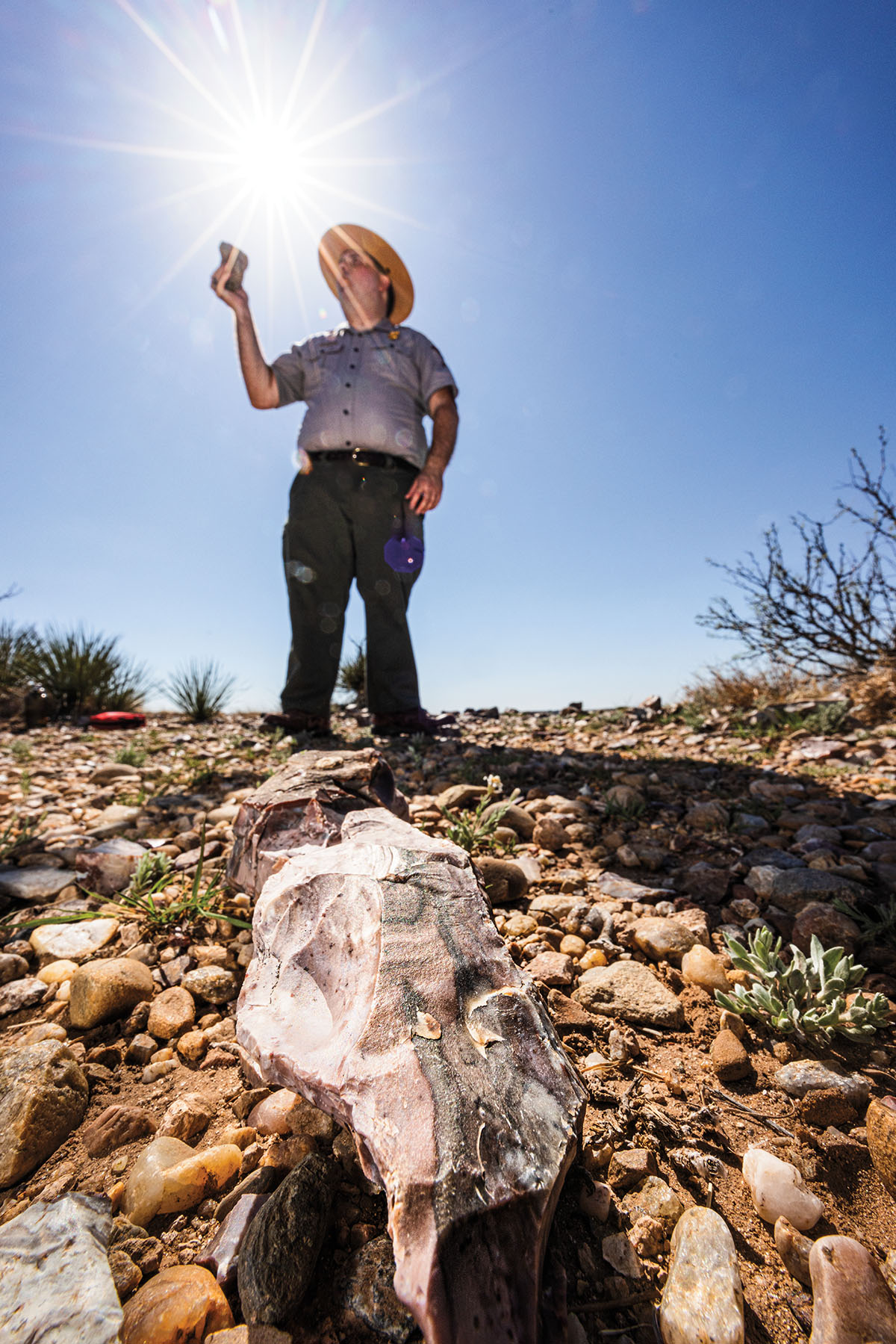
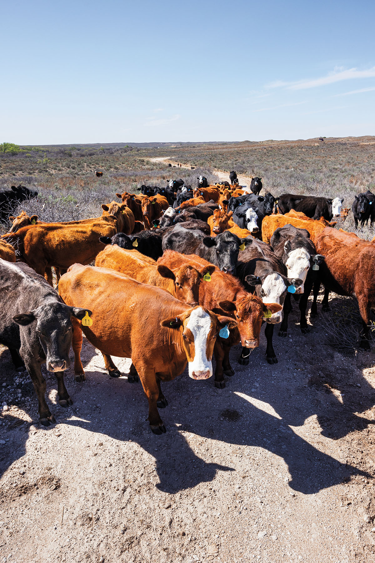
Other sites along the course of the Canadian include the Alibates Flint Quarries National Monument, where the Clovis mammoth hunters harvested flint for tools and weapons; and Boot Hill Cemetery, near the Texas-New Mexico border, where the river comes out of hiding from private ranchland. Later it runs through the town of Canadian, population 2,300, in the northeastern Panhandle. On its north end, pedestrians can walk the 3,255-foot River Wagon Bridge—the Canadian historically has resisted human efforts to bridge it, as quagmires of quicksand and steep gorges along its course make any successful bridging endeavor a minor miracle. For those willing to brave life on the banks of this temperamental body of water, a bounty awaits. —Christopher Collins
